This game-based educational scenario aims to teach students some basic concepts of the field of Geographic Information and Cartography, such as the concept of map, 2D and 3D representation, geographical and cartesian coordinates, orientation, navigation and Global Positioning System. More specifically, the students will be able to:
- learn about projections and to create their own map.
- use crucial geo-techniques to solve a hypothetical murder, which took place at the facilities of Geofort.
- combine the map and the use of their own handmade compass to go for treasure hunt.
- repeat the previous task with global positioning system and compare the result.
- simulate the process of global positioning system.
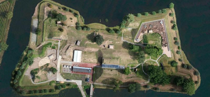
The treasure hunt will take place at Geofort in Holland, as shown below.